Scientists Spend Arctic Winter Adrift on Sea Ice
A hovercraft-based ice drift station gives researchers access to previously inaccessible regions of the changing Arctic sea ice cover off the coast of Greenland.
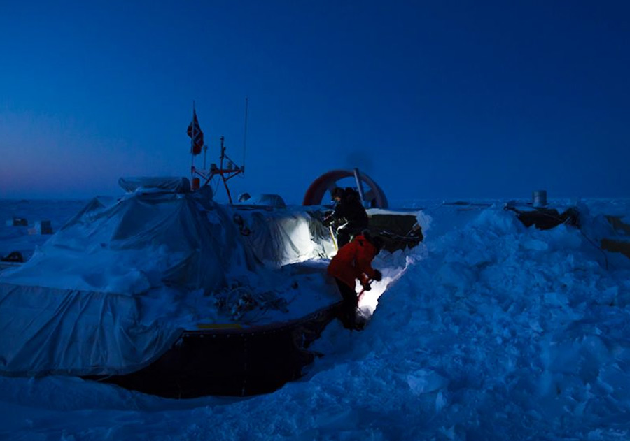
Imagine spending the winter camping near the North Pole, drifting on a raft of sea ice—temperatures below −30°C, five months of almost total darkness, and roaring sounds of crushing ice nearby (but you don’t know exactly where).
On 30 August 2014, a two-man crew prepared to do just that. For the next 11.5 months, the sea ice and a hovercraft would be their home. The goal was to obtain ocean sediments for studies of the Mesozoic and Cenozoic history of Arctic Ocean from 252 million years ago until the present time.
The venture is the product of cooperation between Norway and Germany, under the direction of the Nansen Environmental and Remote Sensing Center, located in Bergen, Norway. Our project, the Fram-2014/15—these nations’ first ice drift in the central Arctic Ocean in more than 100 years—shows that scientifically successful mobile ice drift stations can be established in the Arctic at low cost.
Setting up a Hovercraft-Based Research Station
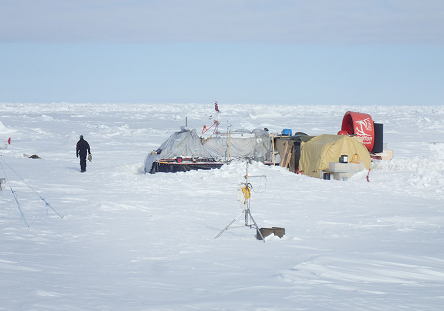
Constructing a temporary station on drifting sea ice provides a means for scientists to make in-person observations over a full annual cycle, or it provides them with access to areas of the Arctic Ocean presently out of reach for icebreaker surveys.
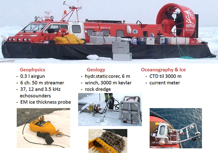
The icebreaker brought along the hovercraft R/V Sabvabaa (an Inuit name meaning “flows swiftly over it”) to assist in this endeavor (Figure 2). The 11-meter-long hovercraft, with its 2.2-ton payload, is outfitted as a polar research platform. It is capable of carrying out many of the same measurements as a modern deep-sea research vessel.
The hovercraft platform provided living quarters, data logging, and communication facilities. An enclosed workspace was set up and connected to the hovercraft. This workspace contained a “hydrohole,” an access hole through the ice for the air gun (for seismic reflection measurements) and winch operations for lowering the sediment corer, rock dredge, camera sled, and conductivity-temperature-depth (CTD) instrument.
Expedition Produces Results
The expedition obtained new data relevant to a number of important aspects of Arctic science. We established the areal extent of an unconformity, or break in the sedimentary record, that extends across the top of the Lomonosov Ridge and jumps from Eocene to Mesozoic at the 2004 Arctic Coring Expedition drill site
They also observed deformed sediments along the foot of the ridge, which are probably related to shearing parallel to the ridge that occurred at some stage of Amerasia Basin evolution [Cochran et al., 2006]. Much to our surprise, the Morris Jesup Spur appears to be underlain by northwest dipping sediments rather than a pile of volcanics
In addition, they saw and recorded two species of half-meter-long eelpouts (Gaidropsarus argentatus and Lycodes frigidus) at the sea bottom at 10 locations in water depths of 800 to 2080 meters. The Arctic Biodiversity Assessment report had not listed Gaidropsarus argentatus among the 13 species of fish found in the Arctic Central Basin, so finding this life at such depths will force ecologists to rethink the eelpouts’ species ranges.


